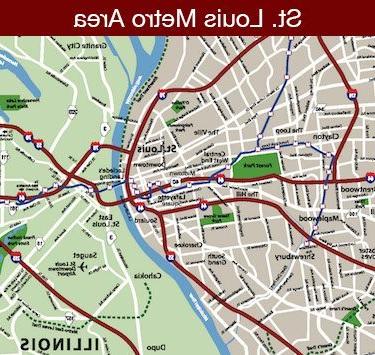
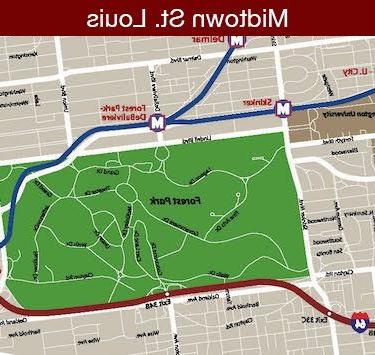
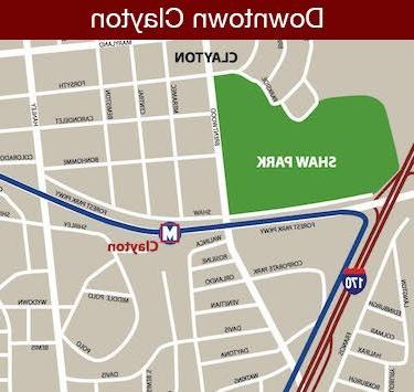
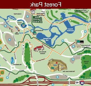
You’ll find it easy to explore St. Louis using these maps. Many visitor attractions are clustered in specific areas such as downtown and Forest Park. But don’t let distance keep you from visiting sights that look farther away. The newly-expanded MetroLink light rail system, which has been called one of the best mass transit systems in the country, provides access to many area attractions and a streamlined system of interstate highways makes most points in metropolitan St. Louis less than a 20-minute drive from the Arch.
Click a map below to view the full-sized image in a PDF.